The hidden meaning behind North Carolina's shortest highway
State Route 400 is basically no better than a city street. So why does it even exist? The answer is right there on the sign.
Folks, I love a challenge.
That’s Rabbit Hole reader/Queen City Nerve editor/mascot crimes enthusiast Ryan Pitkin giving me what I thought was a subtle challenge. I swear to you that I squinted at that picture over and over, trying to figure out where it was taken. Is that little Washington? Morehead City? Beaufort? Oriental? I ran through my visual memory, trying to remember what waterfront looks like that. I stared at the buildings on the left and the apartments in the back before finding the critical clue on the top right. The bridge. Of course, the bridge! That’s U.S. Highway 64, crossing over to the Outer Banks. This fairly bourgeoisie scene is from Manteo.
I was about to crow about unraveling all of this, until I saw that Ryan had turned his location on, and “Manteo” was just sitting there, plain as day, below his tweet.
Nevertheless! This is a good excuse to talk about something that’s a little bit perplexing and has no real practical reason to exist. It’s North Carolina Highway 400! The shortest official state highway in North Carolina! When I was out in Manteo six years ago, I went out of my way to drive on this scenic thoroughfare. Here I am at one end of this road, in Festival Park:
And here I am, two minutes later, at the other end, at the intersection with U.S. 64.
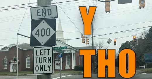
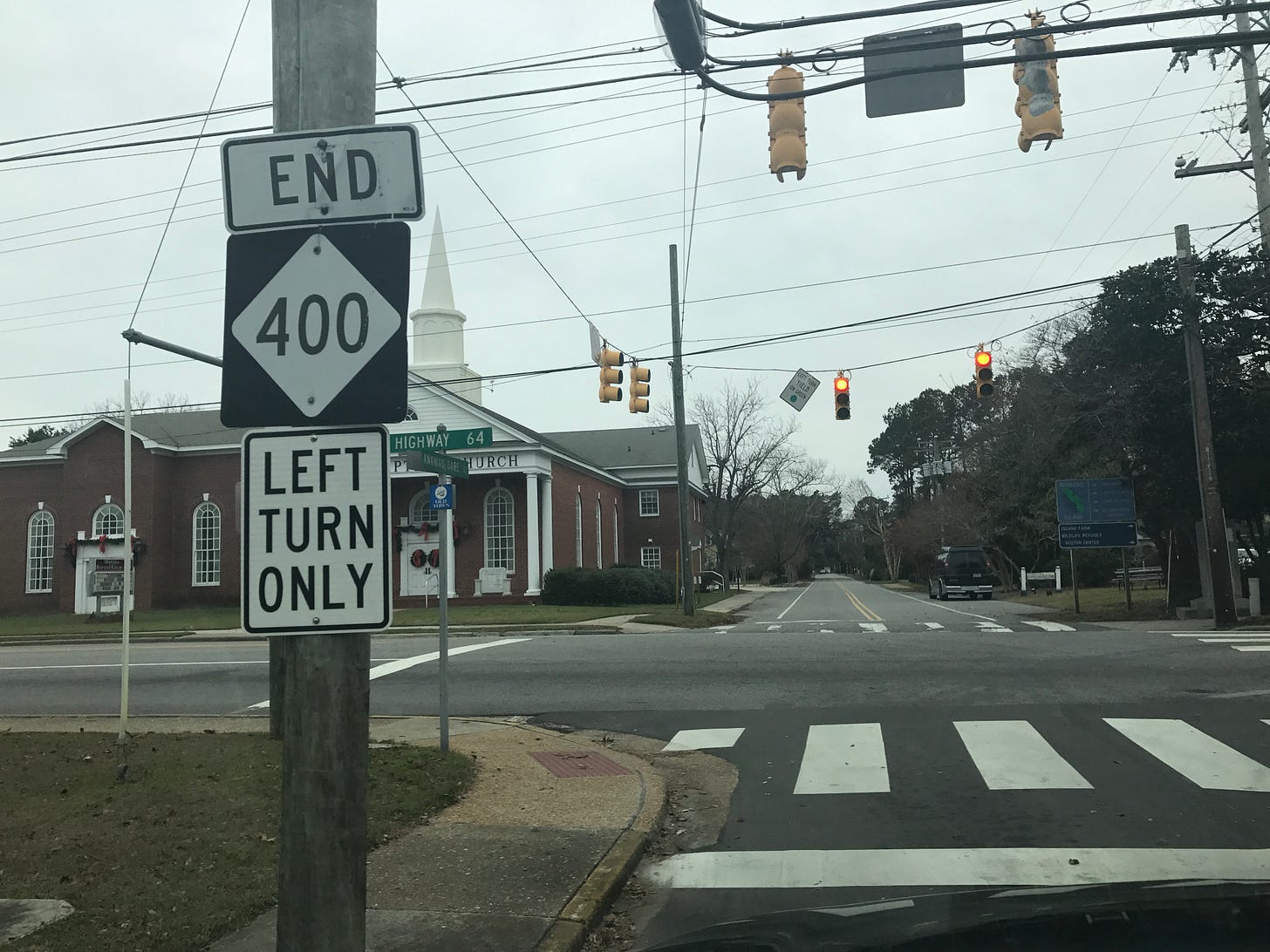
It took all of 120 seconds to drive on this 0.63-mile-long stretch of road, and I can tell you confidently that there is nothing particularly special about it. Manteo, in general, is a lovely place, and this road takes you through the loveliest parts of it. But this official state highway is pretty much indistinguishable from any other city street, and on top of that, it’s not particularly well marked. Last thing here: It’s not even one single highway! It technically follows two one-way streets, so the official map looks more like a wishbone than a snake.
Even the official state rules about numbered highways throw a little shade here. Technically, a new route number can only be added on roads that can handle 19,000 lbs of axle weight, are at least 20 feet wide, and are mostly 55 miles per hour. You can’t add a route number to an existing road “except where there is a definite showing of an adequately improved highway carrying an established and necessary line of intrastate traffic.” That’s right, Highway 400. Ya basic.
So, again, why does this state highway exist?
I’ll give you a clue. Look at the number.
Here’s another: Route 400 was created in 1984.
One more: There was a big celebration in Manteo that year. What was it?
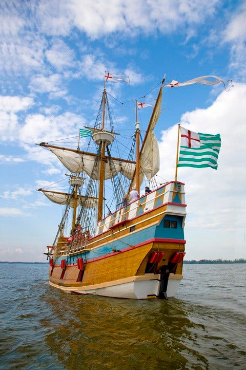
Scroll down past this picture of the Elizabeth II (which is also sort of a clue) to get the answer:
The answer? The road came into being during a big celebration in Manteo in 1984 that celebrated the first English settlement in North America. That settlement on Roanoke Island in 1584 did not go well! Everybody vanished! It was so tragic and memorable that they made a whole outdoor drama out of it called The Lost Colony, which you can go to Manteo and watch. One note: Andy Griffith is no longer in it.
Anyway, the state decided to count 1984 as its 400th anniversary and threw a big party in Manteo, which ended up looking sort of like a renaissance fair. An old wooden ship was built by hand: The Elizabeth II. The queen herself didn’t come, but her daughter Princess Anne actually commissioned the boat:
Walter Cronkite led a 75-boat flotilla across the sound! Charles Kuralt also showed up! Huzzahs all around!
To get ready, the town really spruced itself up. It built a 400-foot-long bridge to Ice Plant Island, which it made into what today is Festival Park (and the home of the Elizabeth II). And that wasn’t all, according to this account from Chronicles of the Outer Banks: Fish Tales and Salty Gales, by Sarah Downing:
Roads and infrastructure received upgrades, billboards got kicked to the curb, landscaping projects bloomed and one thousand trees took root. Even the new route selected to funnel visitors directly into Manteo got a new name: Highway 400. The waterfront shops and the expansion of the public docks all remain part of the legacy.
You want to know why parts of Manteo have a decidedly Theodoric of York vibe? That’s why.
Hence, this was more than just a big party. The 400th anniversary basically turned Manteo into the charming little town it is today. It also, as a side-effect, gave us a useless state highway. Anyhow, now that this particular mystery is solved, maybe we can figure out that whole Croatoan thing.
ADDENDUM (Aug. 19): The email version of this newsletter referred to Princess Anne as Queen Elizabeth’s sister. She’s her daughter. This is an inexcusable mistake for someone who’s watched all four seasons of The Crown.
Also, Human Legislative Encyclopedia Gerry Cohen reminded me of the all-powerful state senator who may have had a hand in this:

Gerry burns hurt the worst.


I got married on Manteo, at a "secret" gazebo near Weir Point. It's a cool place. I just looked at it on GMaps, and now there's a disc golf course nearby. Maybe I can turn that into a daytrip! Thanks for another cool article, Jeremy!
I guess I get to be the one to say that Anne is the Queen’s daughter, not sister. Margaret was her sister.